Download Data
| FGDB | Shapefile | Last Updated | |
|
|
Parcel data
2.5 mb |
Parcel data
3.7 mb |
8/7/2023 |
|
|
Administrative Boundaries 4.7 mb |
Administrative Boundaries 6.8 mb |
1/9/2024 |

|
Regular Elections Precincts & Consolidated Precincts, March 2024 1 mb |
Regular Elections Precincts & Consolidated Precincts, March 2024 1.5 mb |
1/9/2024 |
|
|
Planning Data
1 mb |
Planning Data
1.5 mb |
6/16/2024 |

|
Address Data
0.19 mb |
Address Data
0.22 mb |
6/16/2024 |
|
|
Centerlines Data
0.7 mb |
Centerlines Data
1 mb |
11/4/2023 |

|
Environmental Hazards
11 mb |
Environmental Hazards
14 mb |
2/3/2020 |
|
|
Flooding
19 mb |
Flooding
28 mb |
2/3/2020 |

|
OVSA Data
14 kb |
12/16/2015 | |

|
SEDA Data
12 kb |
12/16/2015 | |
|
|
Airport Noise Contours
70 kb |
4/22/2016 | |

|
ICWD Mitigation Data
112 kb |
8/17/2017 | |

|
ICWD Owens River Data
210 kb |
8/17/2017 | |

|
ICWD Wellfields Data
32 kb |
8/17/2017 |
Our GIS data are compressed using 7Zip compression utility, which is free. Download 7Zip

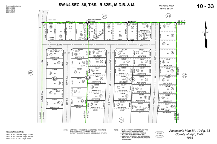
Download all Assessor's Parcel Maps

|
PDF Maps
74 mb |
|---|